Regional MVUM Maps Everywhere
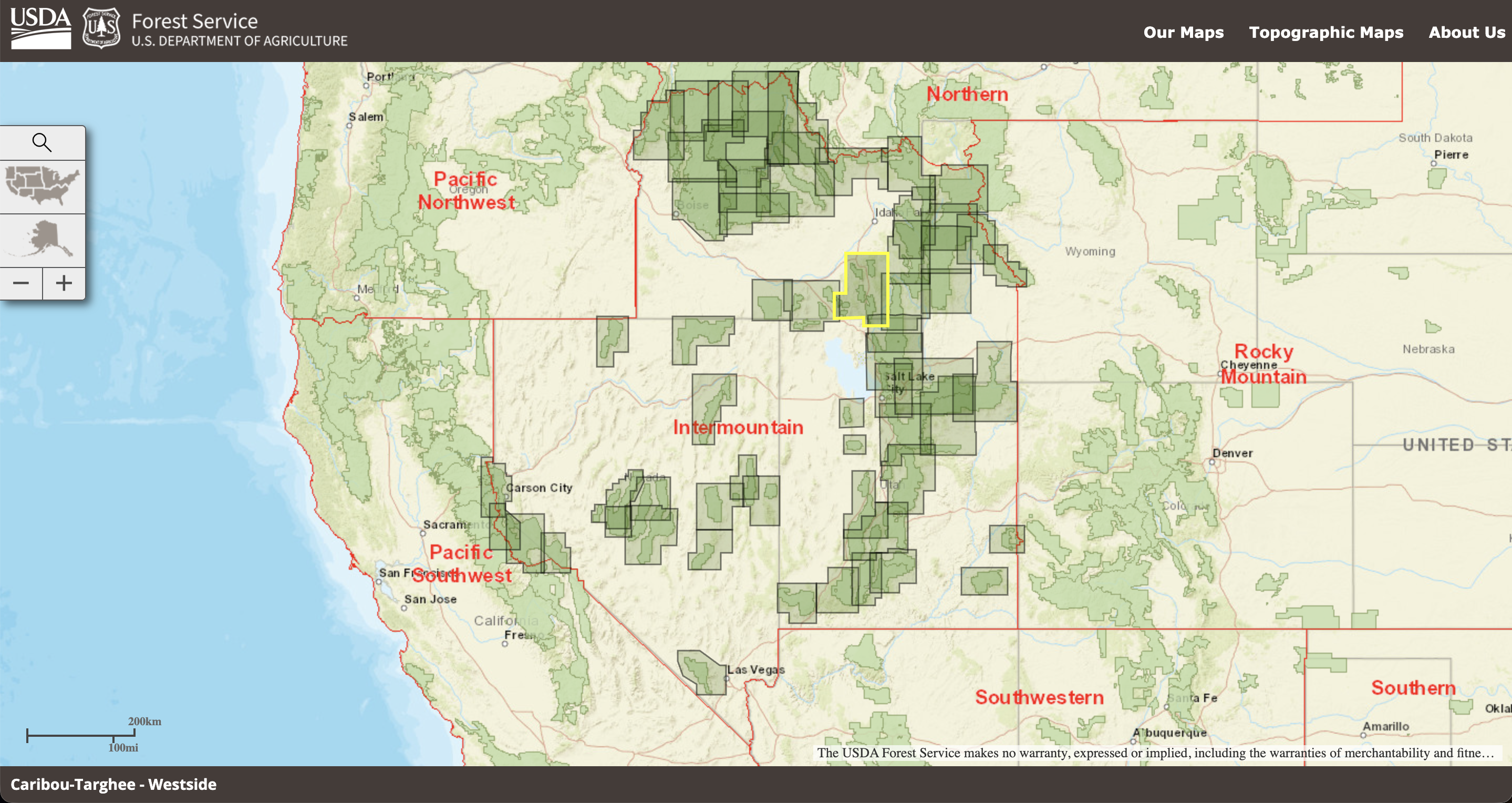
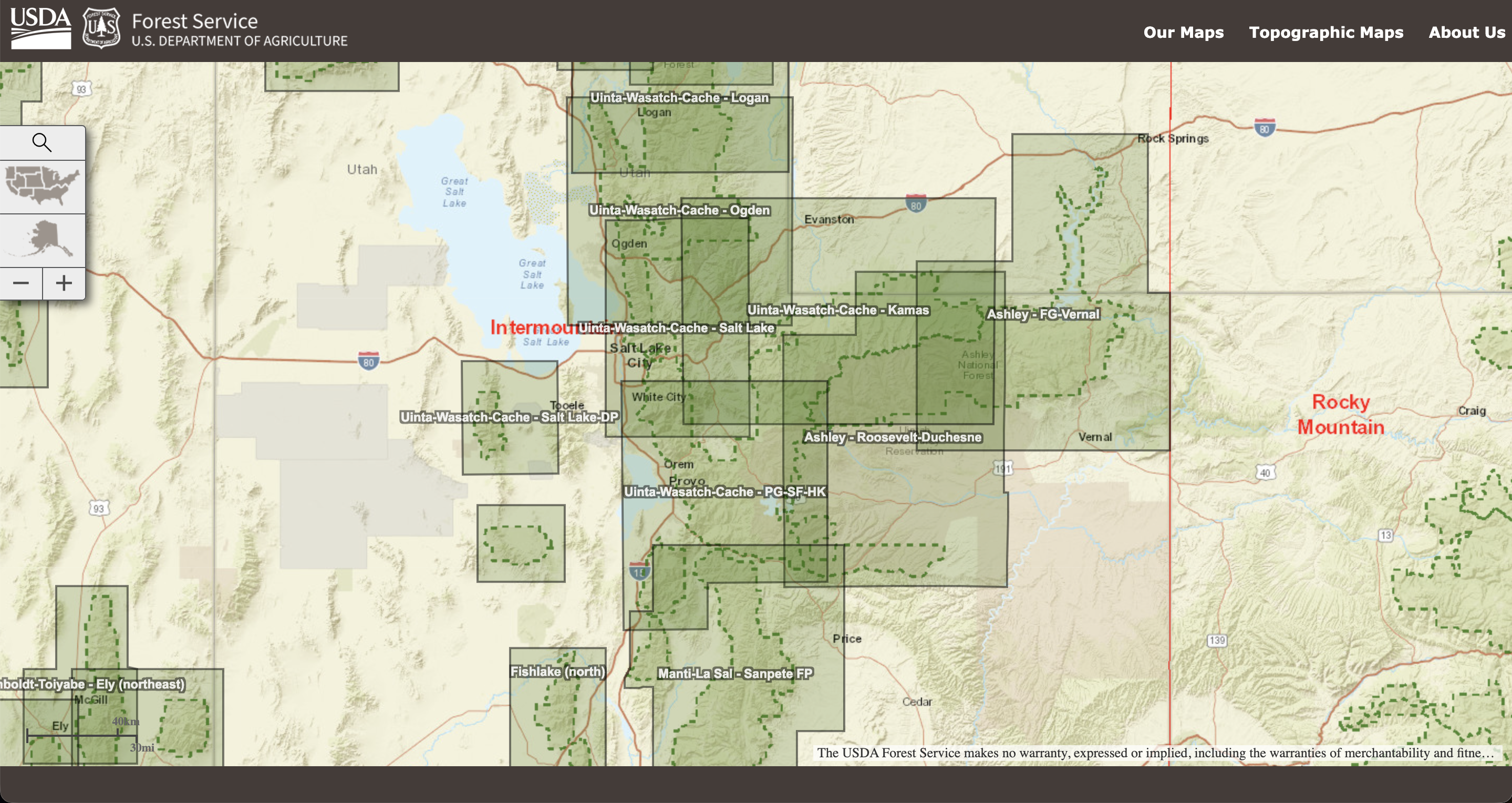
In a previous post, I was puzzled about why I could not find more regional maps showing where the various MVUM maps were located. If “R5” was (for some reason) the Pacific Southwest, I figured there was a good chance that at least R1-R4 existed too, so I started digging around. An internet search for “R5 MVUM” took me to the full page R5 map that I added to the previous post. I then clicked on “Maps & Publications” to get to https://www.fs.usda.gov/main/r5/maps-pubs. One link there got me to another full-page map for R4, and this had a URL clearly showing the region (https://www.fs.fed.us/mapfinder/?r=04).
The loading performance of these maps in Safari is incredibly bad and doesn’t always complete, but They have the right idea. In Chrome, they seem to be loading reliably.
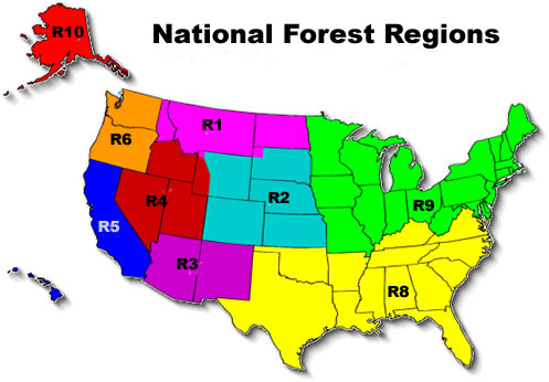
- R01: Northern Montana, North Dakota, Idaho
- R02: Rocky Mountain Colorado, Kansas, Wyoming, South Dakota
- R03: Southwest Arizona, New Mexico
- R04: Intermountain Utah, Nevada, California overlaps
- R05: Pacific Southwest California, Hawaii
- R06: Pacific Northwest Oregon, Washington
- R07: unspecified shows continental US, with map rectangles showing when zoomed
- R08: Southern
- R09: Eastern
- R10: Alaska


